Understanding Business Challenges.
Engineering the Right Solutions.
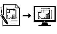
SERVICE 01 - Paper-to-Digital Sketch
Conversion of paper-based property sketches into digital format.
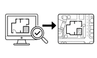
SERVICE 02 Sketch Verification Over Aerial Imagery
Verification of digitized sketches against aerial imagery.
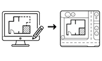
SERVICE 03 Sketch Correction & Footprint Drawing
Sketch correction and drawing of footprints from measurable imagery.
 Paper to Digital
 Sketch Verification
 Draw from Imagery
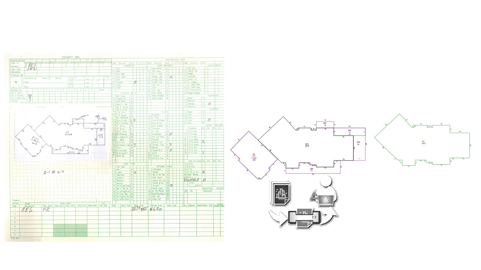
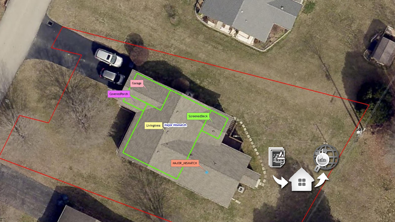
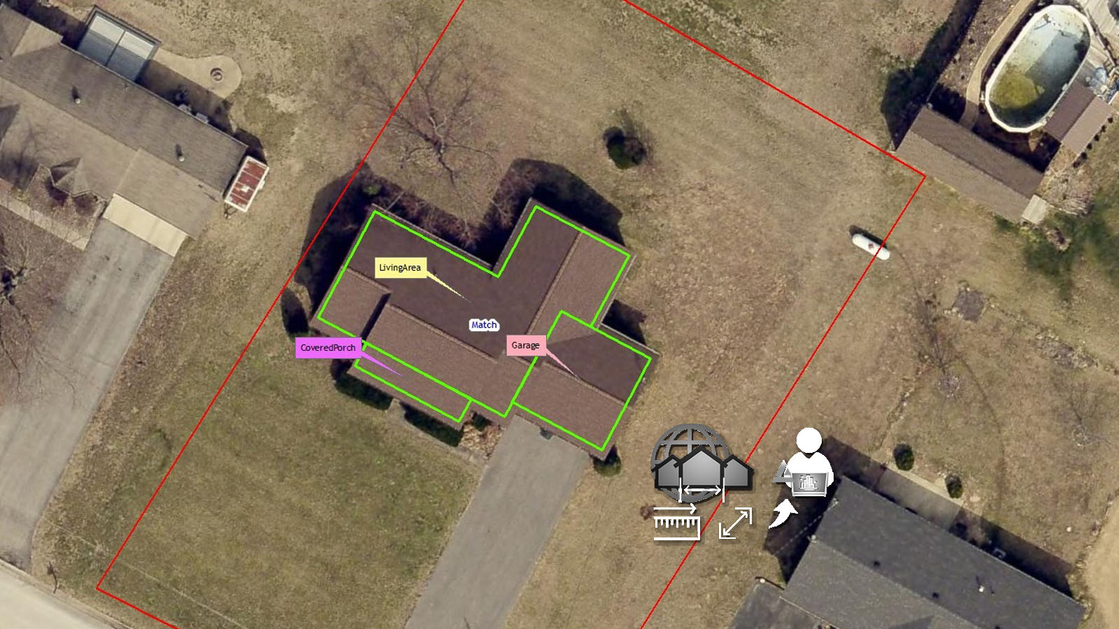
A Complete Solution for Countywide Digitization and Verification
The three-stage process creates a controlled path from initial sketch conversion to final delivery, with every property progressing through clearly defined production and verification stages. By separating creation, independent data validation, and final quality review, the workflow provides multiple layers of control while supporting consistent quality across large-scale projects.
White PaperPaper-to-Digital Property Sketch Conversion
SYSH transforms legacy paper property sketches into accurate digital Apex sketches through a technology-assisted production workflow. Technicians recreate building geometry, measurements, area codes, and other relevant sketch information from the source documents. Proprietary software tools and plug-ins assist technicians during production, helping identify measurement, area-code, file, and other data inconsistencies before the sketch moves to the next stage.
SYSH transforms legacy paper property sketches into accurate digital Apex sketches through a technology-assisted production workflow. Technicians recreate building geometry, measurements, area codes, and other relevant sketch information from the source documents.
White PaperSketch Verification
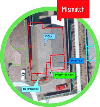
Sketch Verification compares existing property sketches with current high-resolution aerial imagery to identify additions, modifications, demolitions, and other discrepancies between assessment records and actual site conditions. Using SyGIS, technicians systematically review properties and classify identified changes for further action.
The process combines GIS technology, imagery analysis, property data, and structured quality controls to efficiently verify large volumes of properties. The resulting information helps assessors prioritize corrections, field inspections, and property record updates while improving the overall accuracy of assessment data.
White PaperDraw from Imagery
Draw from Imagery enables building sketches and footprints to be created or corrected directly from high-resolution measurable aerial imagery. Technicians use visible building geometry and imagery-based measurements to accurately reconstruct additions, modifications, and structures that are missing or outdated in existing property records.
The process combines measurable imagery, GIS technology, specialized sketching tools, and structured quality controls to produce accurate digital representations of buildings. This provides assessors with updated property information while reducing dependence on extensive field visits and improving the efficiency of property record modernization.
White PaperA Global Team Built Around Expertise and Delivery
We Provide the Perfect Solution
Our collaborative operating model enables us to assemble the right combination of expertise for every engagement while providing the flexibility to contract and deliver through the most appropriate regional entity based on client, commercial, and regulatory requirements.
 Get started
Built on Experience.
Powered by Innovation.
150+
Projects
15+ Years
Experience
A Global Team Built Around Expertise and Delivery
We Provide the Perfect Solution
Our collaborative operating model enables us to assemble the right combination of expertise for every engagement while providing the flexibility to contract and deliver through the most appropriate regional entity based on client, commercial, and regulatory requirements.
Get started
Built on Experience.
Powered by Innovation.

Proven Government Delivery
Proven delivery of large-scale government modernization projects.
Software Engineering
End-to-end software engineering for enterprise applications.
AI-Assisted Automation
AI-powered workflow automation that improves productivity and accuracy.
GIS & Property Assessment
Extensive expertise in GIS, geospatial production, and property assessment.
Proprietary Technology
Purpose-built platforms and proprietary tools that improve efficiency, accuracy, and scalability.
Trusted Long-Term Partnerships
Long-term client relationships built on quality, reliability, and consistent delivery.
Clark County Property Assessment Modernization
Clark County initiated a large-scale property assessment modernization program to transform approximately 800,000 paper building sketches into a fully digital property database. The objective was not only to digitize legacy records but also to validate every property against recent aerial imagery and update records to accurately reflect existing site conditions.
Clark County digitized approximately 800,000 paper building sketches into a fully digital, imagery-verified property database.
An Integrated Three-Stage Workflow
Detroit launched a major property assessment modernization initiative to improve the quality and reliability of its property records.
692,720 Parcels Verified
Palm Beach County required a comprehensive sketch verification and CAMA validation program covering approximately 692,720 parcels. Using SyGIS, SYSH developed a GIS-assisted verification workflow that integrated CAMA validation, spatial work allocation, imagery verification, and point-based discrepancy collection. Approximately 36% of the reviewed properties were identified with discrepancies and categorized for further assessment.
Palm Beach County verified approximately 692,720 parcels using a GIS-assisted CAMA validation workflow, identifying discrepancies in ~36% of properties reviewed.
What our clients say about us
Synet's hard work, dedication and attention to detail helped lead the way to a successful completion. We would like to express our sincere appreciation for you, and your team's, extraordinary effort(s) on the Detroit, MI project. We look forward to many more successful joint projects with Synet in the future.
Synnamon has been a trusted and dependable partner, consistently bringing the right expertise, responsiveness, and practical support whenever needed. We value the relationship we have built and look forward to continuing our association.
Our association with Synnamon has been built on trust, responsiveness, and a genuine willingness to help. Their ability to understand business requirements, bring together the right technology and expertise, and provide practical support has made them a valued partner to us. We appreciate their professional approach and look forward to continuing our association in the years ahead.
More than a decade of
Large-Scale Geospatial Delivery
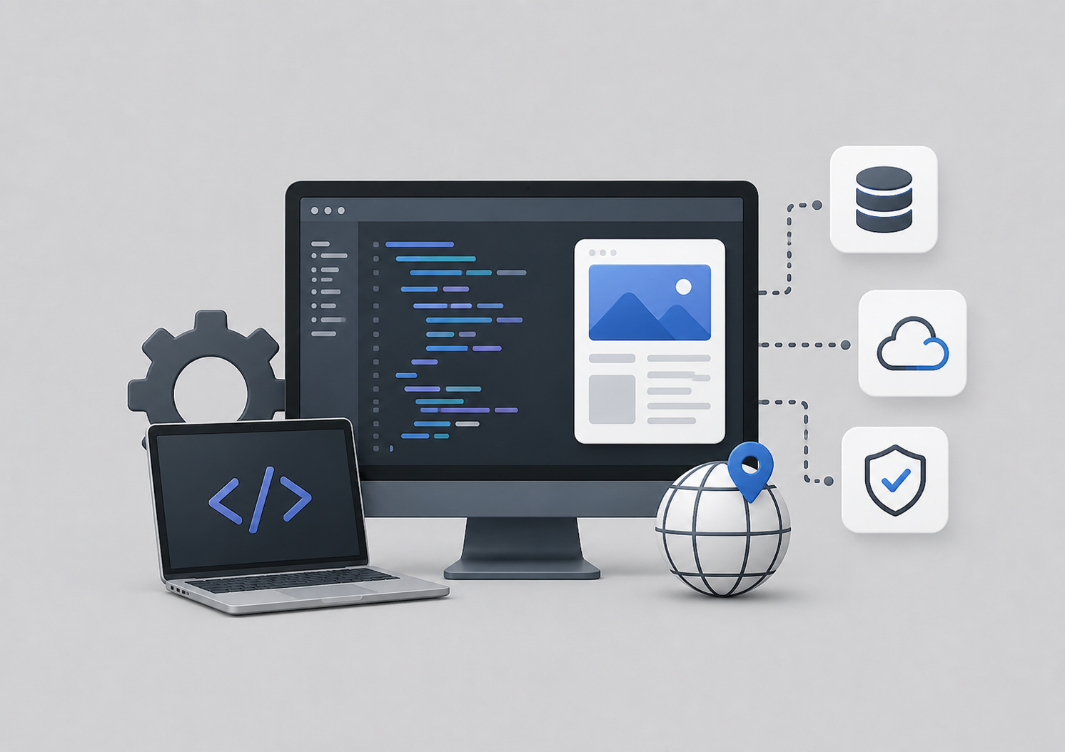
Software Engineering
We design and develop reliable software solutions built around real business requirements. Our engineering expertise spans custom applications, enterprise workflows, GIS solutions, and specialized property assessment technologies.
We design and develop reliable software solutions built around real business requirements.
Read more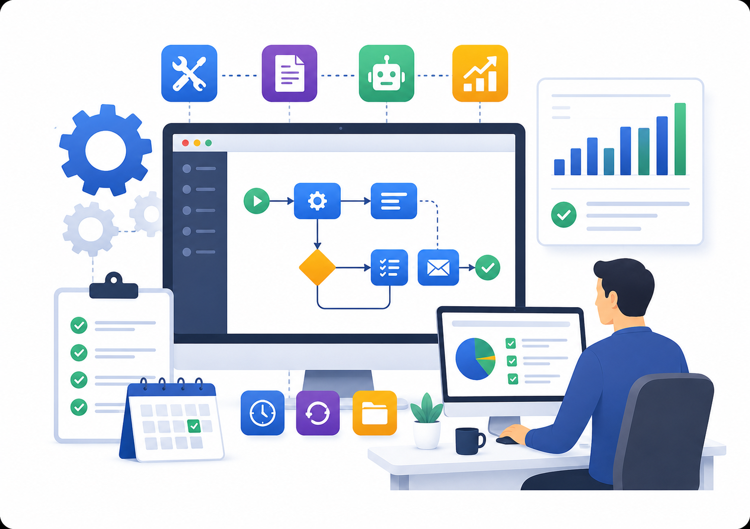
Productivity Tool Development
We develop purpose-built tools that simplify complex workflows, automate repetitive tasks, and improve operational efficiency. Our solutions are shaped by years of hands-on experience with large-scale production environments.
We develop purpose-built tools that simplify complex workflows, automate repetitive tasks, and improve operational efficiency.
Read more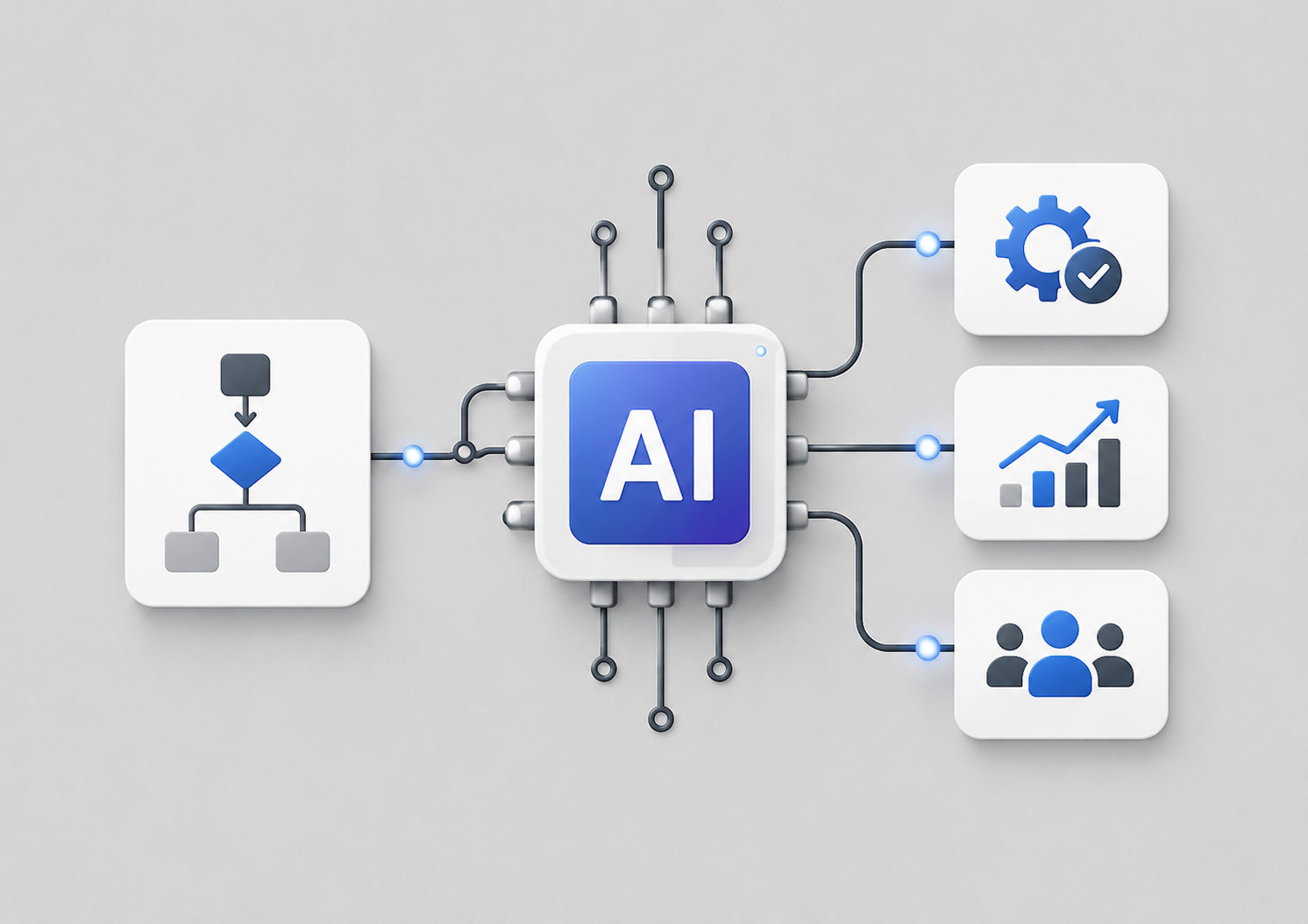
Artificial Intelligence & Workflow Automation
We integrate Artificial Intelligence with our engineering and domain expertise to create smarter, more efficient workflows. Our AI-assisted solutions help accelerate production, strengthen quality controls, and enable teams to accomplish more with existing resources.
We integrate Artificial Intelligence with our engineering and domain expertise to create smarter, more efficient workflows.
Software Engineering,
Geospatial Intelligence
We deliver software engineering, geospatial intelligence, Artificial Intelligence, workflow automation, and enterprise technology solutions to clients across the United States and Canada.